Noise maps
Advanced acoustic modeling for source identification and regulatory compliance.
View serviceWEBGIS ecosystems
Digital platforms that integrate IoT sensors and geospatial analytics.
View serviceAcoustics and spatial analysis
We are a company specialized in acoustic engineering and spatial analysis that transforms complex data into strategic decisions. Through our digital ecosystems, we integrate smart monitoring, advanced modeling, signal processing, and geospatial analytics to help cities and industries anticipate risks, optimize environmental performance, and strengthen their reputation. We do more than manage noise: we reveal invisible patterns across the territory, enable evidence-based strategies, and position our partners as leaders in sustainability, compliance, and smart environmental management.
Learn moreWe transform complex data into strategic decisions. Acoustic engineering and geospatial analytics solutions that optimize environmental performance and strengthen regulatory compliance.
Advanced acoustic modeling for source identification and regulatory compliance.
View serviceDigital platforms that integrate IoT sensors and geospatial analytics.
View service3D reconstruction of the sound field to locate noise sources and represent levels in space.
Digital replica fed with real-time data to simulate scenarios and predict behavior.
Storage and processing of geospatial and acoustic data in the cloud—scalable and remotely accessible.
Noise, vibration, and environmental sensors integrated in real time into maps and reports.
Networked devices and sensors with dashboards and real-time maps for cities and industry.
Noise, vibration, or dispersion modeling to evaluate scenarios before construction or operational changes.
Open tools and standards for geospatial analysis, mapping, and interoperability.
AI and machine learning on territorial and acoustic data for patterns, prediction, and classification.
Urban monitoring and geospatial solutions for the Aburrá Valley Metropolitan Area through IoT systems and territorial information platforms.
Acoustic jacket composition design to reduce noise levels from Turbo Expander Unit 002.
Noise control, source classification, acoustic modeling, and photogrammetry for digital twin generation.
Design and implementation of noise control using acoustic jackets for ultrasonic equipment.
Noise control design for the luxury cruise ship AMAMAGDALENA (AmaWaterways).
Acoustic holography to identify acoustic emissions in piping and optimize control strategies.
Acoustic holography to identify the highest-emission components in a machine train.
Vibration profile characterization of compressors using triaxial accelerometers.
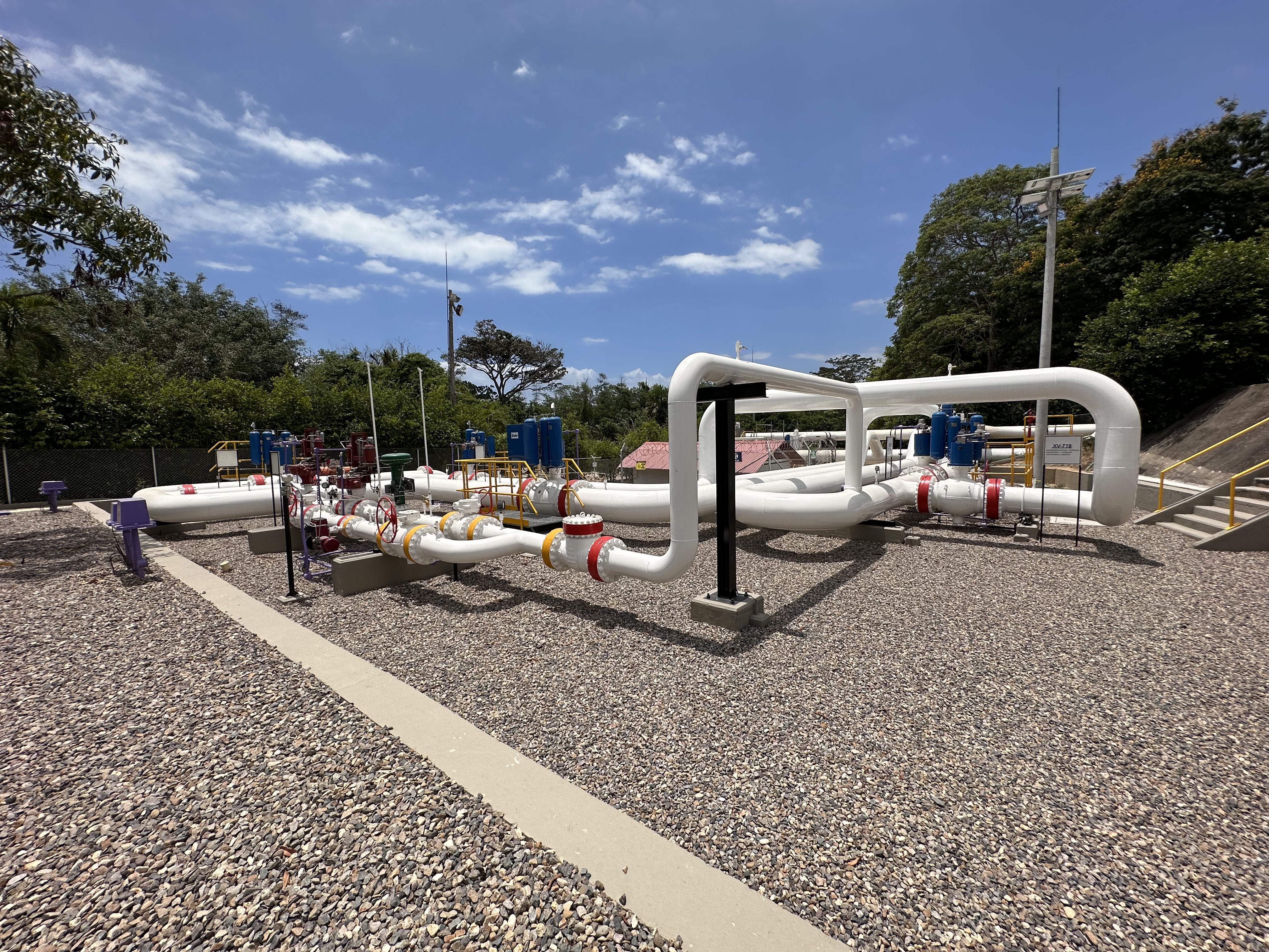
Noise control for compressor stations and photogrammetry survey for Oil & Gas digital terrain modeling.
Underwater noise measurement and modeling using hydrophones and ray-tracing algorithms for acoustic impact assessment.
Support for political campaigns with geoinformatics tools, data analytics, and sociodemographic profiling.
IoT monitoring systems, noise map updates, WEBGIS ecosystem, and acoustic decontamination plan for territorial environmental management.
IoT systems for managing acoustically saturated zones and a noise management model adopted through municipal decree.
Digital ecosystem for environmental information management with ingestion modules, map layers, and sensor trend analysis.
What people ask us most
We integrate acoustic science, signal engineering, and geospatial technology in one solution. We do not only measure or model: we connect acoustic performance with ESG strategies, enable evidence-based decisions through digital ecosystems, and turn technical challenges into competitive advantages for our partners.
Reach us through our contact form or by phone. We review your specific need and present a technical and commercial proposal aligned with your objectives. We use agile methodologies that allow adjustments during project execution.
When you need to assess impacts before building, change industrial operations, design mitigation strategies, or demonstrate regulatory compliance. Modeling simulates scenarios, compares alternatives, and anticipates risks without physically intervening in the territory—saving time and resources.
IoT sensors capture temporal variation, seasonal patterns, and unexpected events that traditional measurements often miss. This helps identify trends, validate predictive models, trigger automatic alerts, and make real-time decisions—improving operations and regulatory compliance.
We respond to initial inquiries within 48 hours. Delivery times depend on complexity: basic studies may take 2–4 weeks, while integrated projects with digital platforms typically need 3–6 months. We always define clear schedules in the initial proposal.
Yes. We offer platform maintenance, model updates, sensor calibration, and ongoing technical support. We also train operations teams and provide technical documentation so solutions remain sustainable.
We sign confidentiality agreements before starting any work. Sensitive data is processed in secure environments, used only for agreed purposes, and never shared with third parties without explicit authorization. We follow data protection standards and information security best practices.
At Geotrends we look for people passionate about:
See how to join